Пагода Суой До Нячанг
Наша собственная оценка, а не среднее из отзывов гостей
Святилища по склону холма, сквозь которые падает ручей. 11 км от города, а не 30
Справочное фото
Справочное фото
Справочное фото
Справочное фото
Справочное фото
Справочное фото
Справочное фото
Справочное фото
- Адрес
- Suoi Hiep, west of Nha Trang. About 11 km from the square, near the Dien Khanh citadel
- Часы работы
- Daylight hours; busiest at full moon and new year
- Цены
- Free
- Когда лучше идти
- A weekday morning. September and October have the most water
- Точный адрес
На карте
Карта © участники OpenStreetMap · 12.2215, 109.1008
Коротко о месте
Suoi Do sits on a hillside in Suoi Hiep, west of Nha Trang. First, a correction to a figure many articles copy from one another: it is about 11 km from the 2 Thang 4 square, not 30. Measured from the coordinate this page pins, which agrees with OpenStreetMap to within a few metres. That makes it a half-day trip, and one that pairs with the Dien Khanh citadel nearby.
From the parking, you climb more than a hundred cement steps up the hillside. The way is terraced: the pagoda, the shrine to the Lady, statues and small altars set along the steps, and a stream running over rock beside them, which is where the name comes from. Higher up, the view opens over the Dien Khanh farmland below.
This is a pilgrimage site before it is a viewpoint, and that decides when to come. On full-moon days, at new year and on holidays it is packed, the steps are crowded and the parking fills early. On an ordinary weekday it is quiet and cool. The rains: September and October, bring the stream at its fullest, and the steps at their most slippery; the two arrive together.
There is no ticket. Cover shoulders and knees, carry water, and wear shoes with grip rather than sandals. The upper section is steep steps, wet in places all year from the stream. If you are bringing older relatives, plan for it: the way up is continuous steps with no level alternative.
On the same half-day out of town: Diên Khánh citadel a few kilometres away, and Long Sơn pagoda on the way back.
Не пропустите
- Pagoda and shrines terraced up a hillside
- A stream running over rock beside the steps
- Only 11 km out, pairs with the Dien Khanh citadel
Практические советы
- More than a hundred steps, steep at the top, shoes with grip, not sandals
- Avoid full moon and new year if you want it quiet
- Cover shoulders and knees: this is a place of worship
- The rains give the best water and the worst footing, take it slowly
Частые вопросы
How far is Suoi Do from Nha Trang?
About 11 km from the 2 Thang 4 square, measured from the coordinate this page pins. The 30 km figure that appears in many articles does not match the actual location.
Are there many steps?
More than a hundred cement steps, steep near the top and wet in places from the stream. There is no level alternative route.
Which months are best?
September and October, when the stream runs fullest. For quiet, pick a weekday and avoid full-moon days and the new year.
Эта страница есть также в
Ближе всего отсюда
3.8 км от вас
Attractions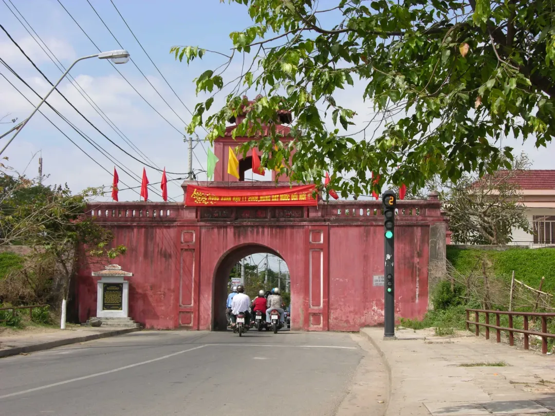
Крепость Дьенкхань
Оценка: 4.0 / 5 — Наша собственная оценка, а не среднее из отзывов гостейКрепость Вобана 1793 года в 10 км от города, и через её ворота до сих пор едут машины
City centreFree4.8 км от вас
AttractionsХрам Литературы в Дьенкхане
Оценка: 3.5 / 5 — Наша собственная оценка, а не среднее из отзывов гостейОдин из немногих уцелевших провинциальных храмов Конфуция на юге центрального Вьетнама, 1853 год, 12 км от города
City centreFree6.6 км от вас
Experiences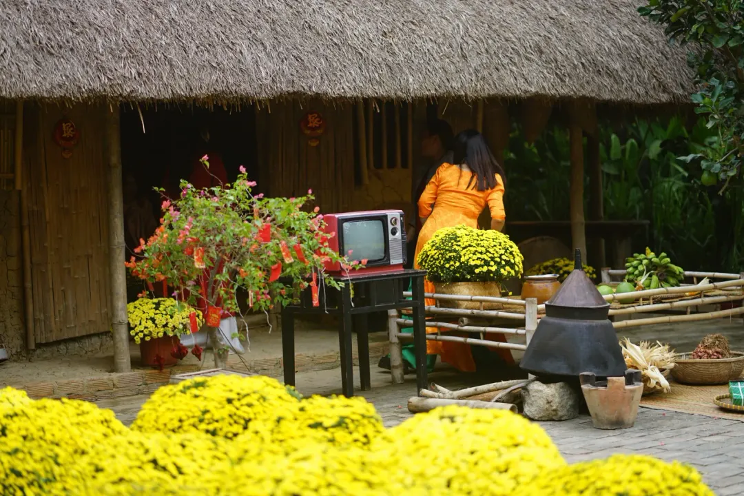
Nha Trang Xua
Оценка: 4.3 / 5 — Наша собственная оценка, а не среднее из отзывов гостейВьетнамская деревня, отстроенная заново в Виньтхай. Деревенская еда, ремёсла, кулинарный класс
City centreMid (100k – 500k)