Hon Ba Nha Trang
Our own score, not an average of guest reviews
A 1,578 m summit and Yersin's wooden house, at the end of 37 km of mountain road
Reference photo
Reference photo
Reference photo
Reference photo
Reference photo
- Address
- The Hon Ba summit, Suoi Dau, Khanh Hoa. 30 km from the centre to the reservoir, then 37 km of mountain road
- Opening hours
- Daylight hours; start down before the light goes
- Price range
- Free
- Best time to go
- February to August, the dry half. Avoid the rains. The mountain road slips
- Exact address
On the map
Map © OpenStreetMap contributors · 12.1195, 108.9481
Overview
Hon Ba is a 1,578 m mountain south-west of Nha Trang, inside a nature reserve of more than 19,000 hectares spread across several districts. On the summit stands the wooden house of Alexandre Yersin: the man who founded the Pasteur Institute in Nha Trang, built as a place to work and to grow medicinal plants at altitude. The sign at the top states both figures plainly: the working house was built in 1903, the altitude is 1,578 m.
Getting there is simple but not easy. From Nha Trang you ride about 30 km south to the Suoi Dau reservoir, and from there it is 37 km of mountain road each way: continuous gradient, hairpins, and a surface that alternates between good and patched. The round trip is about 120 km and takes two to three hours each way on a motorbike. There is no fuel station anywhere on that climb. Fill up at the bottom before you turn off.
The higher you go, the colder and wetter it gets. It can be blazing at the foot while the summit sits in cloud, drizzle and wind; that is why hydrangeas grow up there. There is no ticket and nobody collecting money, and almost nothing to buy either. Take water, food and a warm layer, even if you set off in 33-degree sunshine.
Two things said plainly, so you can pick the right day. First, this is a drive rather than a hike: the value is in the road and in the cool at the top, not in a destination with services. Second, on a low-cloud day you arrive and see fog and nothing else, so check the forecast, and avoid days of heavy rain, because this stretch slips and slides. If you are not a confident rider, take a car or hire one with a driver.
In the same group of hill and forest trips: Yang Bay falls and Ba Hồ stream. For climbs inside the city, see the hill-walks page.
Don't miss
- Yersin's wooden house at the top, dated 1903 on the sign
- Cool and damp year round, a different climate from the coast
- 37 km of hairpins, with the view opening as you climb
Practical tips
- Fill the tank at the bottom: there is no fuel between the reservoir and the summit
- Take a warm layer and a rain shell, the top is cold and misty even when the coast is clear
- Leave early. Coming down 37 km of mountain road after dark is not the plan
- Check the forecast: on a low-cloud day you get fog and nothing else
Frequently asked
Is there an entrance fee for Hon Ba?
There is no ticket and nobody collecting money on the way up. There are also almost no services at the top, so bring water and food.
Can you ride a motorbike up Hon Ba?
Yes, and most people do, but it is 37 km of continuous gradient and hairpins with no fuel station and a patchy surface. If you are not a confident rider, take a car.
What is actually at the top?
Yersin's wooden house, the sign giving the altitude as 1,578 m, old forest, and viewpoints along the road. This is a trip for the drive and the climate, not for a serviced attraction.
This page also appears in
Closest to here
8.7 km away
Attractions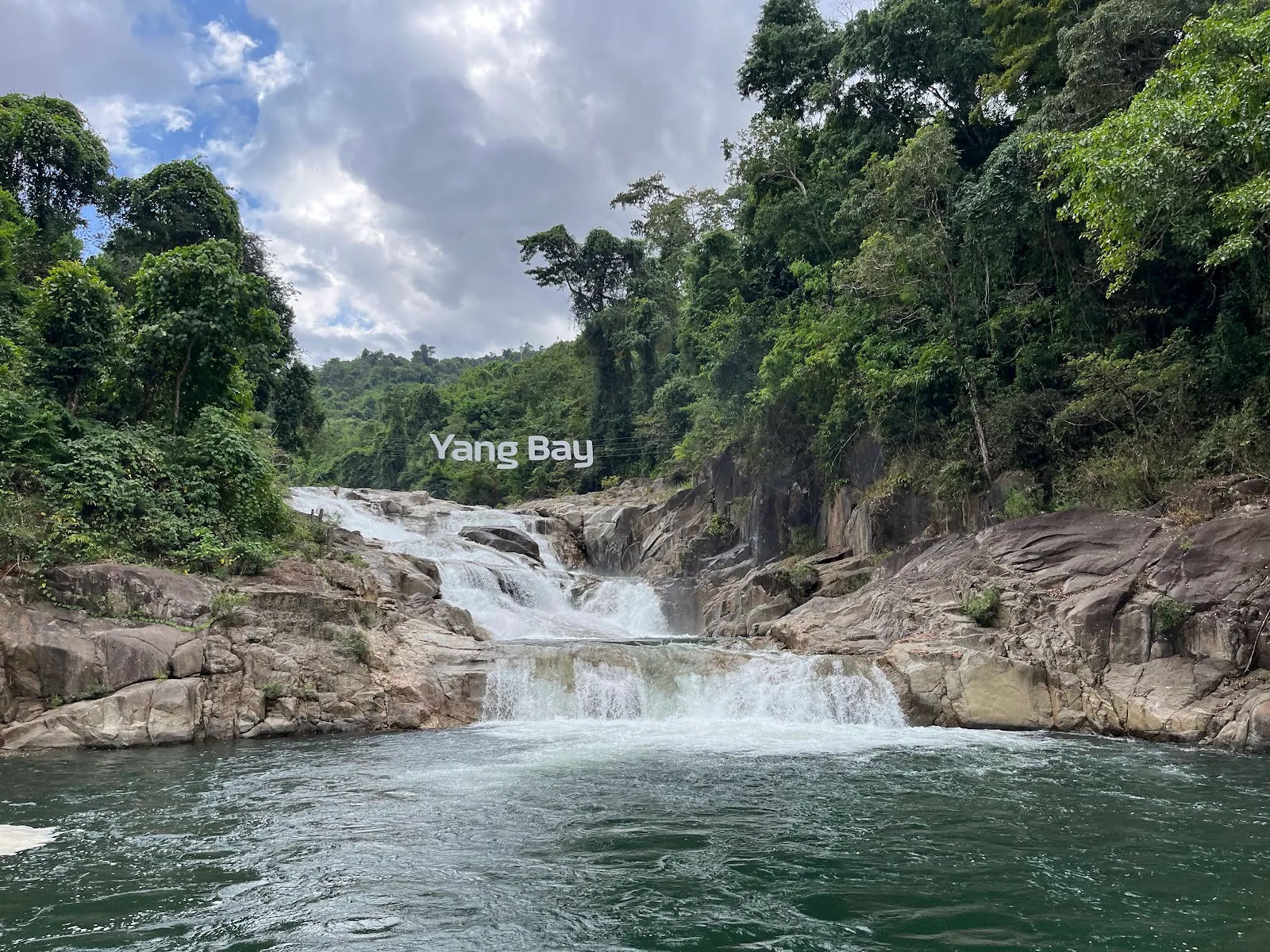
Yang Bay Falls
Rating: 4.1 / 5 — Our own score, not an average of guest reviewsWaterfalls and hot springs in the Khanh Vinh forest, with a gate, a ticket and paved paths
The western highlands (outside the city)119,000 – 170,000₫/person20.1 km away
Attractions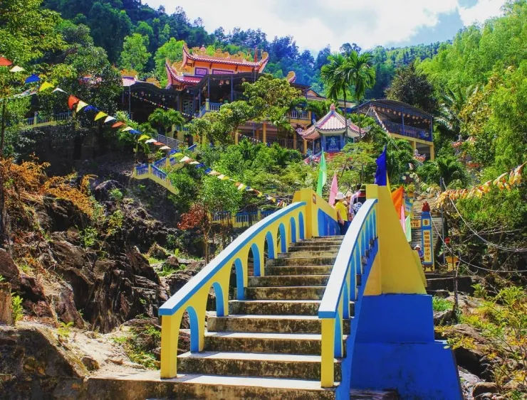
Suoi Do Pagoda
Rating: 4.1 / 5 — Our own score, not an average of guest reviewsShrines up a hillside with a stream falling through them. 11 km out, not 30
City centreFree21.9 km away
Attractions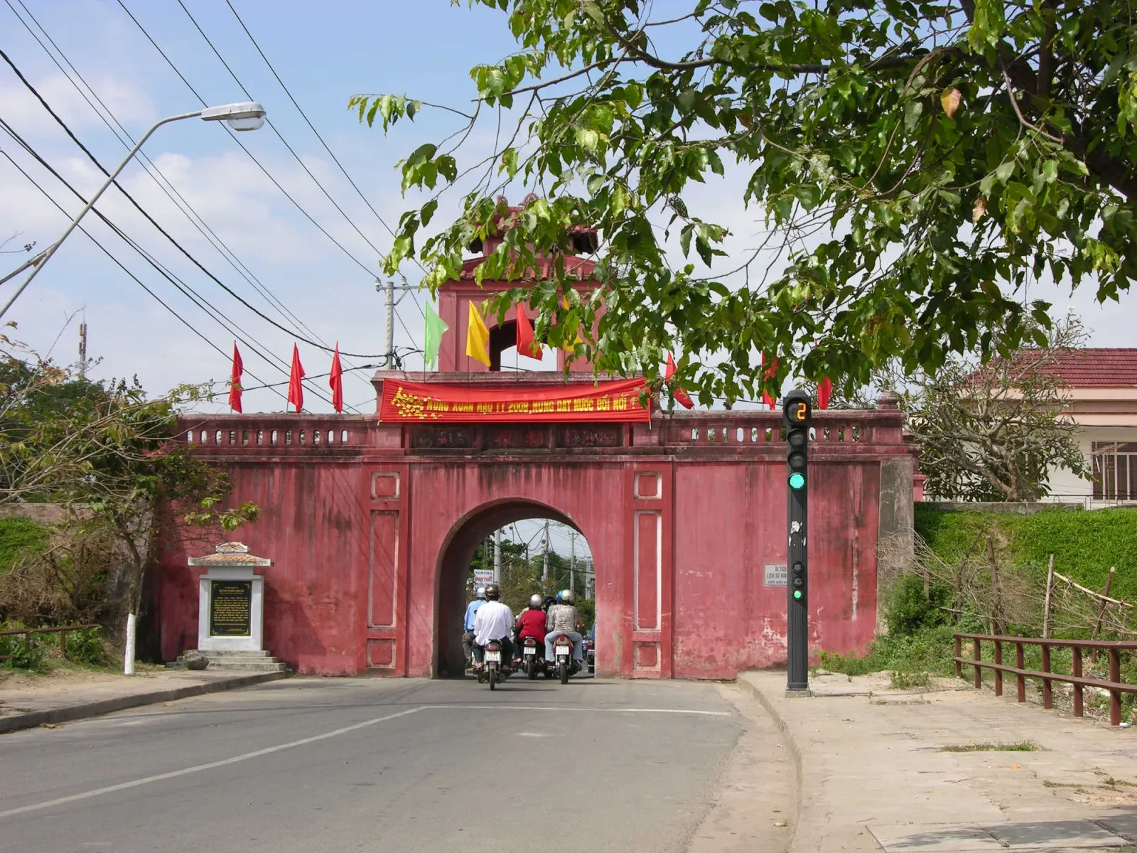
Dien Khanh Citadel
Rating: 4.0 / 5 — Our own score, not an average of guest reviewsA Vauban fort from 1793, 10 km out, and traffic still runs through its gates
City centreFree