Suoi Do Pagoda Nha Trang
Our own score, not an average of guest reviews
Shrines up a hillside with a stream falling through them. 11 km out, not 30
Reference photo
Reference photo
Reference photo
Reference photo
Reference photo
Reference photo
Reference photo
Reference photo
- Address
- Suoi Hiep, west of Nha Trang. About 11 km from the square, near the Dien Khanh citadel
- Opening hours
- Daylight hours; busiest at full moon and new year
- Price range
- Free
- Best time to go
- A weekday morning. September and October have the most water
- Exact address
On the map
Map © OpenStreetMap contributors · 12.2215, 109.1008
Overview
Suoi Do sits on a hillside in Suoi Hiep, west of Nha Trang. First, a correction to a figure many articles copy from one another: it is about 11 km from the 2 Thang 4 square, not 30. Measured from the coordinate this page pins, which agrees with OpenStreetMap to within a few metres. That makes it a half-day trip, and one that pairs with the Dien Khanh citadel nearby.
From the parking, you climb more than a hundred cement steps up the hillside. The way is terraced: the pagoda, the shrine to the Lady, statues and small altars set along the steps, and a stream running over rock beside them, which is where the name comes from. Higher up, the view opens over the Dien Khanh farmland below.
This is a pilgrimage site before it is a viewpoint, and that decides when to come. On full-moon days, at new year and on holidays it is packed, the steps are crowded and the parking fills early. On an ordinary weekday it is quiet and cool. The rains: September and October, bring the stream at its fullest, and the steps at their most slippery; the two arrive together.
There is no ticket. Cover shoulders and knees, carry water, and wear shoes with grip rather than sandals. The upper section is steep steps, wet in places all year from the stream. If you are bringing older relatives, plan for it: the way up is continuous steps with no level alternative.
On the same half-day out of town: Diên Khánh citadel a few kilometres away, and Long Sơn pagoda on the way back.
Don't miss
- Pagoda and shrines terraced up a hillside
- A stream running over rock beside the steps
- Only 11 km out, pairs with the Dien Khanh citadel
Practical tips
- More than a hundred steps, steep at the top, shoes with grip, not sandals
- Avoid full moon and new year if you want it quiet
- Cover shoulders and knees: this is a place of worship
- The rains give the best water and the worst footing, take it slowly
Frequently asked
How far is Suoi Do from Nha Trang?
About 11 km from the 2 Thang 4 square, measured from the coordinate this page pins. The 30 km figure that appears in many articles does not match the actual location.
Are there many steps?
More than a hundred cement steps, steep near the top and wet in places from the stream. There is no level alternative route.
Which months are best?
September and October, when the stream runs fullest. For quiet, pick a weekday and avoid full-moon days and the new year.
This page also appears in
Closest to here
3.8 km away
Attractions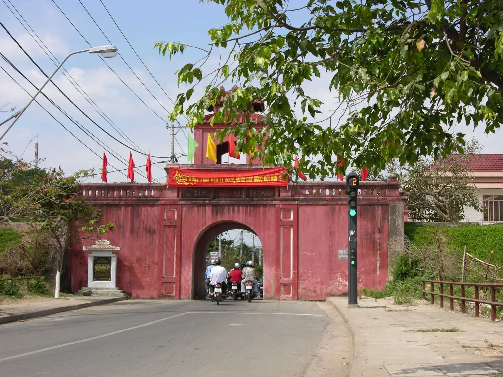
Dien Khanh Citadel
Rating: 4.0 / 5 — Our own score, not an average of guest reviewsA Vauban fort from 1793, 10 km out, and traffic still runs through its gates
City centreFree4.8 km away
AttractionsThe Văn Miếu of Diên Khánh
Rating: 3.5 / 5 — Our own score, not an average of guest reviewsOne of the few provincial Confucian temples left in south-central Vietnam, 1853, 12 km out
City centreFree6.6 km away
Experiences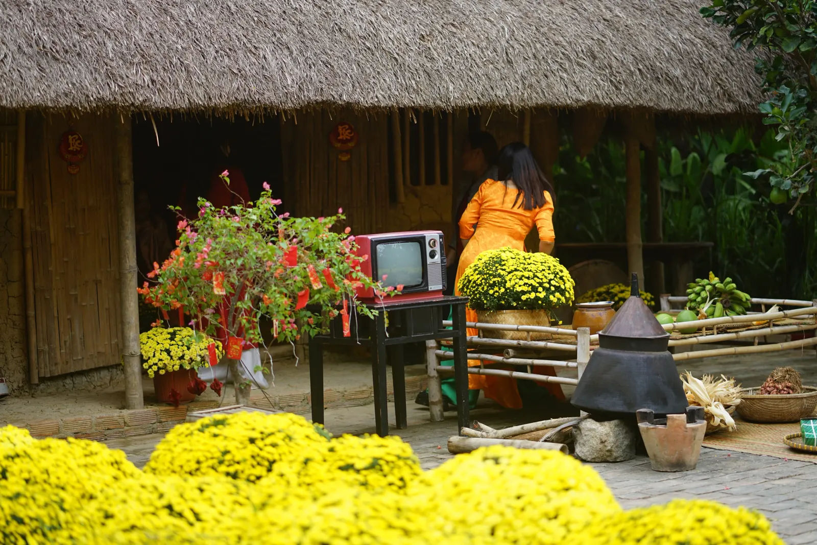
Nha Trang Xua
Rating: 4.3 / 5 — Our own score, not an average of guest reviewsA Vietnamese village rebuilt in Vinh Thai. Country food, craft village, cooking class
City centreMid (100k – 500k)