Hòn Tre island
Our own score, not an average of guest reviews
The bay's largest island, 11.5 km long, a 482 m peak — and you cannot cross from one end to the other
Martin Lewison from Forest Hills, NY, U.S.A. · CC BY 2.0 · Wikimedia Commons · 2020
nguyenquoctuan · CC BY-SA 3.0 · Wikimedia Commons · 2010
- Address
- Hòn Tre island, Nha Trang bay, phường Nha Trang (formerly Vĩnh Nguyên), Khánh Hoà. Cable car or boat from Cầu Đá for the western end; speedboat from Vĩnh Trường port for Bích Đầm
- Opening hours
- Set by the cable car (shore station roughly 08:00–21:45) or by the boats; the eastern end has daytime speedboats only
- Price range
- Mid (100k – 500k)
- Best time to go
- Late afternoon for the view back at the shore; avoid October–December, when wind stops the cable car and cancels boats
On the map
Map © OpenStreetMap contributors · 12.2091, 109.2815
Overview
Hòn Tre is the largest island in Nha Trang bay and the thing that blocks the horizon when you stand on Trần Phú and look out to sea. Measured back from the OpenStreetMap coastline it runs 11.5 km east to west and 6.3 km across, with more than 50 km of shoreline and an area above thirty square kilometres — larger than the whole of central Nha Trang. In the middle stands a 482-metre mountain. Almost no visitor knows that, because the part of the island visitors see is a flat strip of shore at the western end.
The most useful thing to know about this island is that it has two ends, and they have nothing to do with each other. The western end is Vinpearl: VinWonders, Vinpearl Harbour, the resorts, a golf course, and the upper station of the cable car across the bay. The eastern end is Bích Đầm, a fishing village. The two sit 8.8 km apart in a straight line and no road joins them: the island's entire road network in OpenStreetMap sits inside the resort grounds — footpaths, service roads, a go-kart track — with nothing crossing the mountain.
So in practice “going to Hòn Tre” means two entirely different trips, leaving from two different piers in town. For the western end you take the cable car from Cầu Đá at the southern end of Trần Phú, or a boat from the same landing — about fifteen minutes, and the trip nearly every visitor makes. For Bích Đầm you take a speedboat from Vĩnh Trường port, about thirty minutes, and it is the trip almost nobody makes. A ticket for one is no use for the other.
At the western end, what the island gives you that the city cannot is the view in reverse. Standing on Hòn Tre you look west, at the Trần Phú hotel strip with the mountains behind it — the picture you never get from the shore. That is why Wave Bar on the island is worth a late afternoon, and why the cable-car ride is worth taking even if you do not intend to enter the park.
One misreading worth clearing up, because this site itself once got it wrong: Hòn Tằm is not part of Hòn Tre. Hòn Tằm is its own island to the south, reached by boat from the Nha Trang tourist pier rather than across from Hòn Tre. In the same way Hòn Mun and Bãi Tranh on Hòn Miễu are separate islands. The bay holds many; Hòn Tre is simply the biggest, not the one containing the rest.
Administratively the island sits in phường Nha Trang, the name adopted on 1 July 2025; before that it was phường Vĩnh Nguyên. That is worth knowing when you read an older address on a ticket or a booking page: many still print “Vĩnh Nguyên”, and it is the same place rather than a different one. There are convenience stores inside the VinWonders and Vinpearl Harbour grounds, so a day here does not oblige you to carry water across from the mainland.
Don't miss
- The bay's largest island: 11.5 km long, over 50 km of shoreline, a 482 m peak
- The two ends are 8.8 km apart with no road between them
- The west is the Vinpearl complex by cable car; the east is Bích Đầm village by speedboat
- From the island you look back at the Trần Phú strip — a view the shore cannot give you
Practical tips
- Pick the pier before the ticket: Cầu Đá for the west, Vĩnh Trường for Bích Đầm, and neither substitutes for the other
- You can ride the cable car without entering the park — fifteen minutes over the bay stands on its own
- Staying into the evening means watching for the last cabin around 21:45; after that it is a chartered boat
- An old address saying “Vĩnh Nguyên” and a new one saying “phường Nha Trang” are the same place
Frequently asked
How do you get to Hòn Tre?
It depends which end you want. The western end, with VinWonders and the resorts, is reached by cable car from Cầu Đá at the southern end of Trần Phú, about fifteen minutes, or by boat from the same landing. The eastern end, the fishing village of Bích Đầm, is reached by speedboat from Vĩnh Trường port, about thirty minutes. No road links the two, so you cannot reach one and carry on to the other.
Is Hòn Tằm part of Hòn Tre?
No. Hòn Tằm is its own island in the south of the bay, reached by boat from the Nha Trang tourist pier. Plenty of write-ups — including a few older pages on this site, now corrected — run the two together. Nha Trang bay holds several separate islands: Hòn Tre, Hòn Tằm, Hòn Miễu, Hòn Mun, Hòn Một.
Is there anything on the island besides VinWonders?
Yes, but nearly all of it sits at the western end and belongs to one complex: the Vinpearl and Marriott resorts, a golf course, Vinpearl Harbour, Wave Bar and a few convenience stores. The rest of the island — including the 482 m mountain and the whole eastern slope — carries no tourist services. At the eastern end is the fishing village of Bích Đầm with its old lighthouse, but reaching it is a separate speedboat trip.
How big is the island?
Over thirty square kilometres, 11.5 km long and 6.3 km across, with roughly 50 km of shoreline. The figure usually quoted is 32.5 km²; measuring the OpenStreetMap coastline gives 34.7 km². A gap that size is normal for a hand-drawn coastline, so this page gives a range rather than picking one.
Closest to here
3.1 km away
Stays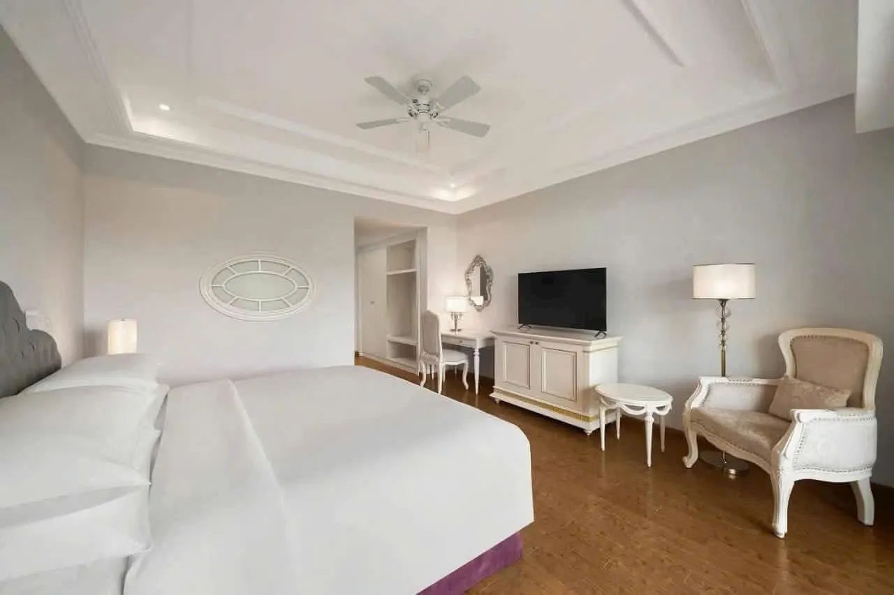
Nha Trang Marriott Resort & Spa, Hon Tre Island
Rating: 4.6 / 5 — Our own score, not an average of guest reviewsOn Hon Tre: 2 km of private beach and seven pools. Reached by cable car or boat
Islands in the bayLuxury (over 5M a night)4.2 km away
Cafés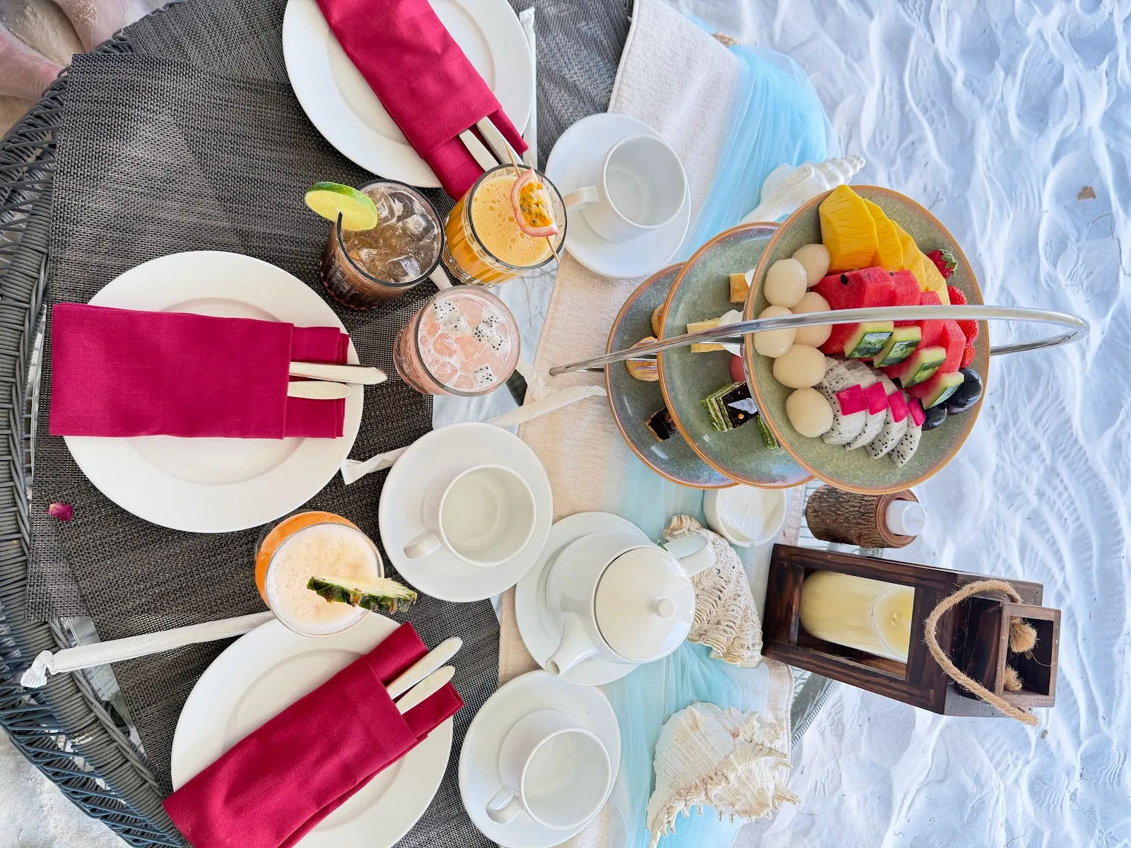
Wave Bar (Hon Tre)
Rating: 4.3 / 5 — Our own score, not an average of guest reviewsOn the island, looking over the whole bay. Best at sunset
Islands in the bay80,000 – 250,000₫/drink4.4 km away
Attractions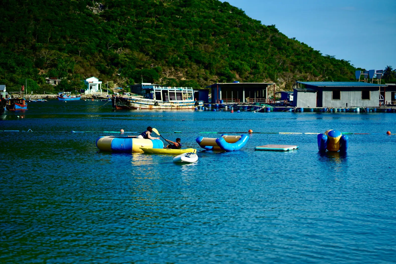
Bich Dam Island
Rating: 4.2 / 5 — Our own score, not an average of guest reviewsThe furthest island in the bay. A fishing village, an old lighthouse, 30 minutes by boat
Islands in the bayfrom 119,000₫/person